Chora Circular Trail (Route 01)
Adventure & Outdoors
A 9.8 km loop from Chora over the hills above it, up to about 600 m: stone chapels, traces of prehistoric settlements, an old water mill and wide views of the Aegean; about four hours, moderate.
- Adventure & Outdoors
A loop over the hills above Chora
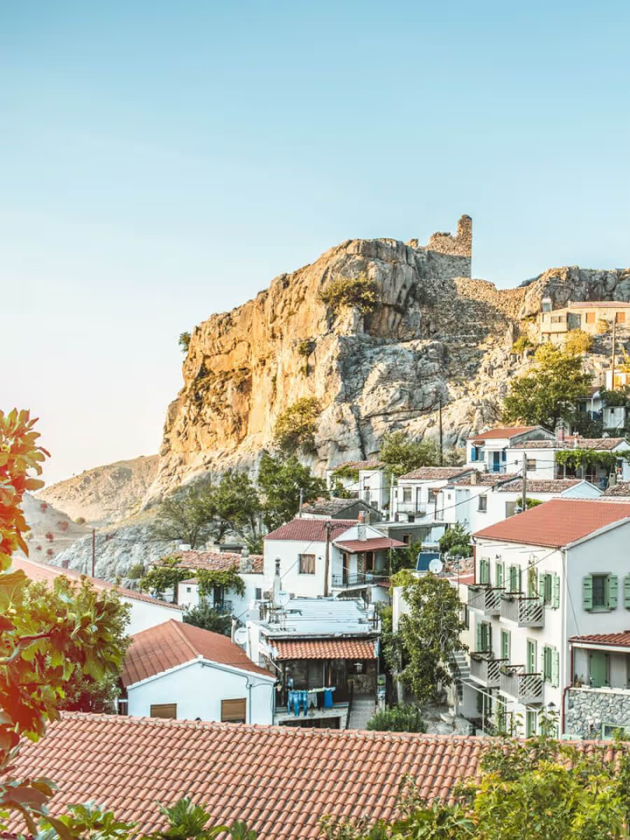
Route 01 starts and ends in Chora and climbs into the hills behind it, through the areas the locals call Korakia, Askamnes, Agianemi and Koufopetro, to a high point of 596 m. On the way are small stone chapels, traces of prehistoric settlements and houses, among them a prehistoric pottery workshop, the ruins of an old water mill and a stream with drinking water, with the Aegean below you much of the way.
It is 9.8 km and takes about four hours. A little under half is footpath (4.25 km), a little under half dirt road (4.45 km), and 1.1 km is old cobbled path.
The route is one of the numbered walks described for Samothraki by the Paths of Culture project (monopatiapolitismou.gr). The island’s network is still being completed, so waymarks may be missing in places: carry the route on your phone and ask in the village before you set off.
At a glance
- Circular, from Chora and back: 9.8 km, about 4 hours
- Moderate; highest point 596 m
- Stone chapels, prehistoric sites, an old water mill, a stream with drinking water
- Little shade on the dirt-road stretches: start early in summer